


Tafarai Bayne, Community Affairs Manager of T.R.U.S.T. South LA.
T.R.U.S.T. (Tenemos Que Reclamar Y Unidos Salvar La Tierra) South LA is a Community Land Trust established in November 2005 as a democratic and permanent steward of land, to challenge the role that speculators, absentee owners and corporations have played in deciding the neighborhoods’ future. Its members are restricted to low-income residents of the land trust area.
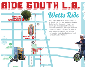
Part of their land trust work involves healthy activity and alternative transit promotion through South LA exploratory bicycle rides, mobile mapping of the area, and an active partnership with CicLAvia by spearheading the South LA Hub that reimagines how the streets in South LA can be more open healthy, active, and safe for pedestrians and bicyclists.
Tafarai who has worked in South LA for 12 years choose the streets as his democratic space “because I feel like there is untapped potential in the streets when you think about democracy. When you look at the streets you see all this interaction between people and the streets themselves connect so many communities. In this CicLAvia event, and particularly the South LA hub, we decided to reframe the streets and reframe how democracy can be brought into the streets in a new way for bicycles and pedestrians.”
T.R.U.S.T. (Tenemos Que Reclamar Y Unidos Salvar La Tierra) South LA fue establecido en 2005 como un delegado de la tierra para cuestionar el rol de los especuladores y las corporaciones en decidir el futuro de las comunidades. Sus proyectos incluyen paseos en bicicleta para explorar y re-imaginar las calles en el Sur de Los Ángeles.
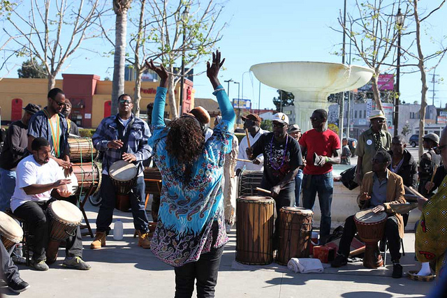
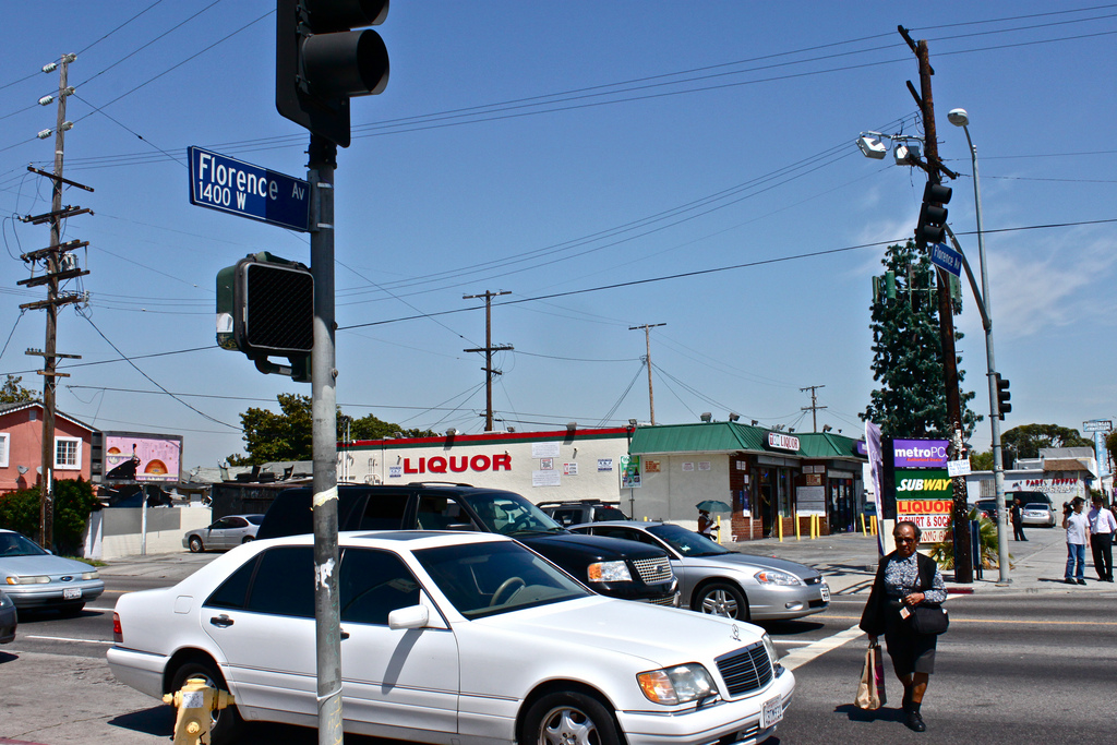
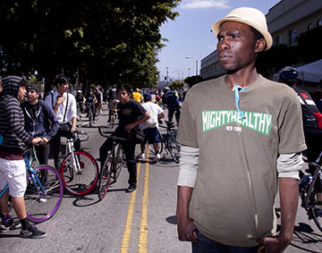
 South Los Angeles organizers are urging people to explore their community in a new way: on their bicycles.