


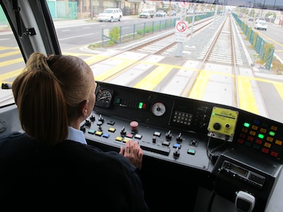
 The Expo Line is Los Angeles’ newest addition to its light rail and subway system. Following an old rail line, it runs from downtown’s transit hub at 7th Street and currently ends at La Cienega and Jefferson. (The final stop of this phase of construction will be in Culver City, but that extension isn’t finished yet.)
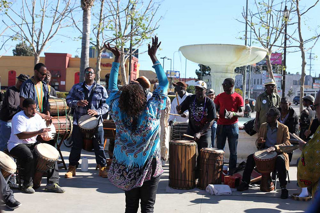
This route takes the rail line through some of L.A.’s most underserved and poor neighborhoods. These neighborhoods are also some of L.A.’s most diverse and densely populated.
The Expo Line increases access to and from these neighborhoods. It will bring change to them – more business coming in, easier access to jobs and services for residents. This is hopefully for the better, but change can bring unintended consequences.
To give a better sense of what the Expo line will mean to South LA communities, we’ve created a slideshow featuring the intersections at the four westernmost stops on the line currently — La Cienega/Jefferson, Expo/La Brea, Expo/Crenshaw, and Expo/Western.
The obejctive of the slideshow is to create a brief record of what these neighborhoods look like at the beginning of these changes.
[Note: Click on each box to view the slideshow. It does not play automatically; you need to keep clicking on the images to move through the slideshow.]
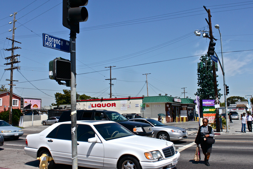
A stop at La Cienaga and Jefferson shows the neighborhood has a mix of residential, commercial and industrial property. Those who don’t know the area will be surprised to know that some manufacturing still exists in South LA.
You won’t find a grocery store, but when you exit the Expo/La Brea stop, you’ll find a mini-mall and a West Adams landmark: Music Man Murray’s.
The Expo/Crenshaw stop is the home of two of the area’s most recognizable landmarks: the West Angeles Cathedral and Earlez Grille. The Expo/Western stop is bustling with activity and lots of businesses highlighting the area’s population diversity, which is 56 percent Latino and 38 percent African American.


Speak Your Mind