


By Alex Abels
This is the first of a four-part series on Jefferson Park and the changing urban neighborhood.
 South Los Angeles has changed drastically over the past 150 years with many events adding to the changing face of the area. Jefferson Park, an area just west of USC’s campus, is one area of Los Angeles that underscores these changes.
The neighborhood – a microcosm of urban America – is bound by Adams Boulevard on the North, Western Avenue on the East, Exposition Boulevard on the South and Crenshaw Boulevard on the West, as can be seen on the map below.
Boundaries of Jefferson Park
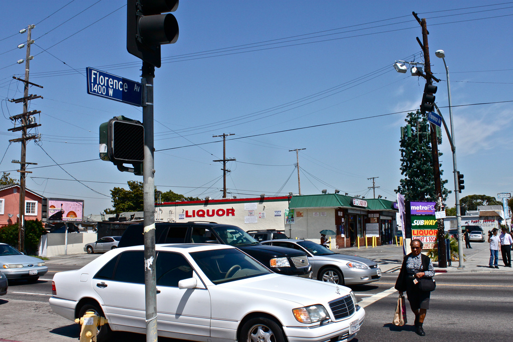
Today, Jefferson Park houses a mix of blacks and Latinos. More than half of the community speaks a language other than English at home, and 35 percent were not born in the U.S. The median household income is about $23,000, and approximately 30 percent of individuals live below the poverty level. Although those outside of the community know it as an area ridden with crime and drugs, similar to the opinion of South LA in general, Jefferson Park is more than just a stereotype.
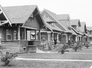
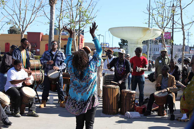
The area has more than a dozen pre-schools and elementary schools, more than 20 churches and other places of worship and several active community service centers. Children can always be seen relaxing or skateboarding in Leslie N. Shaw Park and adults can be seen chatting through barbershop windows. A handful of intricate murals can be seen from Jefferson Boulevard, reflecting the lives of Jefferson Park’s families, most of whom have lived there for decades.
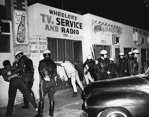
Any neighborhood – especially one that is so intertwined with South LA’s rocky history – can only be fully appreciated when the past is considered. Though many of its residents have lived there for years, Jefferson Park once looked much different than it does today.


Speak Your Mind