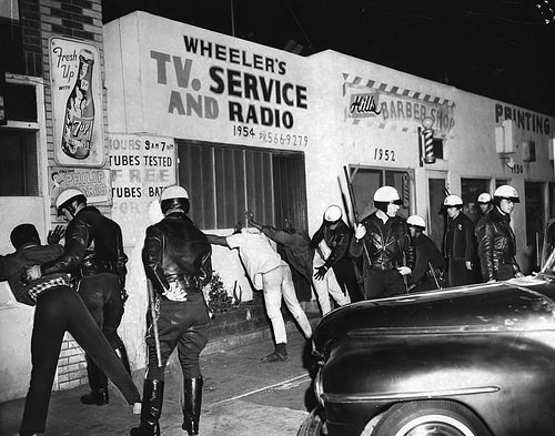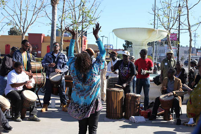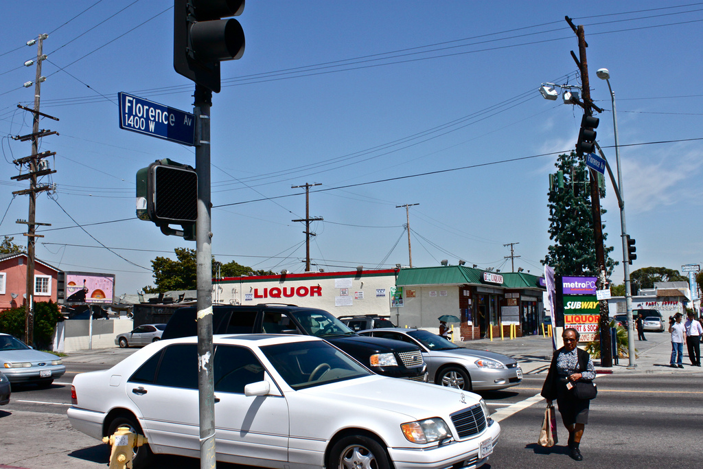


 South Los Angeles organizers are urging people to explore their community in a new way: on their bicycles.
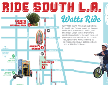
Ride South LA is new cycling map that guides riders through South LA, ending up at the Watts Towers.
Researchers and avid cyclists have been scoping the area for months to set up the route. it was tested by 60 riders in January — using social media mapping tools to gather data and information about which parts of the city people enjoyed and which they didn’t, according to a news release.
The map is available online and will be distributed at this weekend’s Ciclavia event in front of the African American Firefighter Museum on Central Avenue.
The map was compiled not only from rider feedback but also from photos submitted by riders. Those photos can be seen on the printed map.
The organizations behind this project are hoping for broad social change as people experience South LA in a different light.
“Social change with maps only happens if they are integrated into the community’s storytelling network,” said researcher George Villanueva of USC’s Metamorphosis Project in a news release. Storytelling must go “beyond media organizations, and include residents and community-based organizations.”
Ride South LA hopes to continue mapping the South Los Angeles community.
Other organizations behind Ride South LA include T.R.U.S.T. South LA, the Mobile Urban Mapping Project, the Mobile Lab, the Annenberg Innovation Lab and the East Side Riders Bike Club.